Day 7 (Part II) • Day 8 • Day 9, 10 & 11 • Day 12 • Day 13 • Day 14
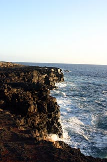
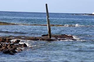
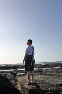
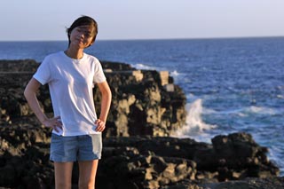
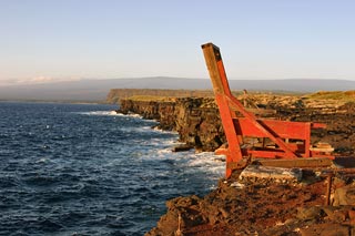
Cliffs near South Point
Erin was feeling a little better today so we got to go out and do some sightseeing. No more water activities however but there was still plenty to do. We set off at a bit after 11am to do some desperately needed laundry and grabbed some burritos next door while we were waiting.
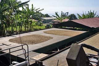
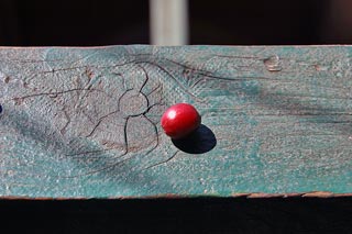
Afterwards we took off to south Kona to look at some coffee farms. Learned how coffee is processed at the Greenwell Farm and picked up a few bags of dark roast Kona and chocolate covered coffee beans (yum!) here and also at UCC and Bay View Farm. Personally I'm not a big coffee drinker but I looooove the smell of dark roast coffee. Every time I drop by my parent's place I always gotta open up their sealed glass coffee container and take a whiff. ;-)
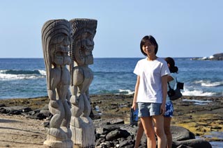
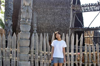
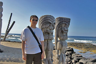
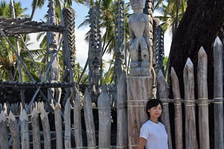
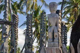
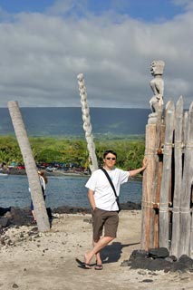
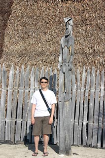
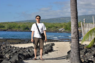
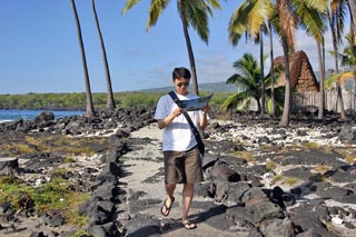
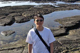
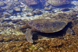
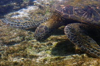
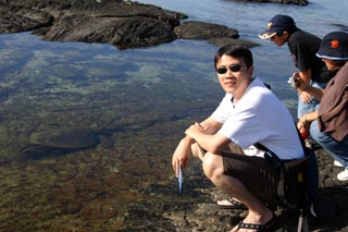
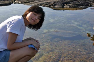
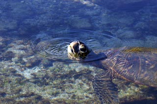
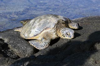
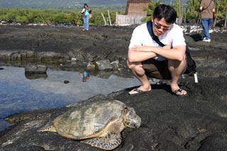
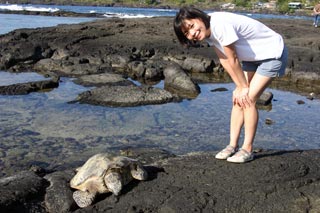
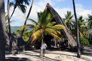
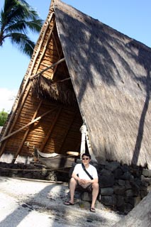
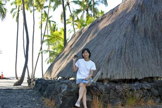
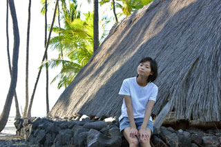
Between the UCC and Bay View Farm stops, we sidetracked to the nearby Pu'uhonua o Honaunau National Historical Park (Place of Refuge). Getting to the park via the north/south section of Route 160 was quite interesting since it's pretty much a one-lane, two-way road. It's not till you get to the park itself that 160 turns into a two-lane road heading east. $5 entrance fee but as with all national parks here it seems, good for the week. The park itself was quite nice with some well-maintained native Hawaiian structures and artwork and seemed like a great place for snorkeling. Was able to take pics of 3 sea turtles (1 on land) while clambering around the rocky shore/tidal pools. They mostly ignored us, being more intent on searching for food and we got a lot closer to them than the law-dictated 15 feet. But they didn't seem to mind. =) The tidal pools were really cool too as they were teeming with life: baby fish, baby hermit crabs, fish, turtles... great stuff.
The Big Island could very well be the best place for snorkeling. Very, very calm waters on the Kona-Kailua side and you don't need to go very far offshore to see things. Unfortunately we didn't get the chance to experience it firsthand but that just gives us all the more reason to return someday. =)
The roads here are also pretty interesting since the island is basically one continuous slope. The main island-encircling road is just a two-lane two-way road that winds all over the place and takes you to the edge in many places. Really gotta keep on your toes while driving here. So even though the distances can be short, it still takes a considerable amount of time due to the winding roads, lower speed limit and just slower speeds of your fellow drivers.
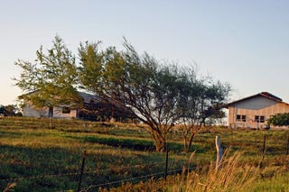
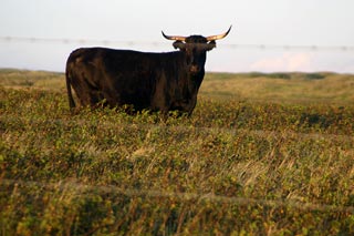
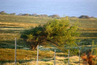
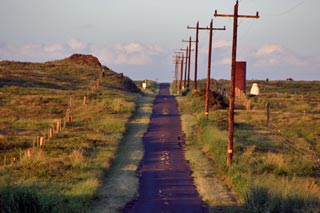
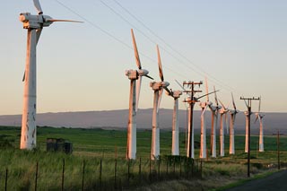
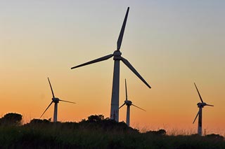
Afterwards we raced down to South Point, the southern-most tip of the Big Island (and the US for that matter) in an attempt to beat the sunset. Made it with 15 minutes to spare. Another very interesting drive. The 12-mile road leading to South Point from Route 11 (the main "highway") is a nicely paved 2-lane 2-way road for about the first half when it then switches to a decently paved 1-lane 2-way road. Has just enough relatively flat, grassy areas to each side of the road so that you can drive half on the road, half on the side if you meet another car going the other way. Halfway down you'll see the Kamoa Wind Farm which is pretty cool. All around you are windswept plains, small rolling hills, and what seems to be ranch land. Lots of grass and a bunch of cows and a house here and there but that's about it.
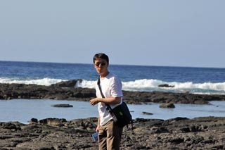
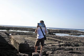
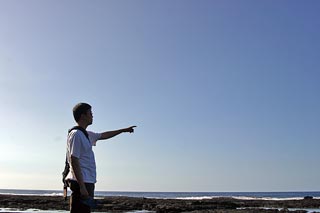
About 10 miles down though the road becomes less well-paved. At the branch-off, the road going off to the left (towards the "Visitor Center" and apparently Green Sand Beach is atrocious. Barely passable in a regular car (drive slowly, it's hell on the suspension). On any other day I would've been tempted to try to make it out to the Green Sand Beach but that required a 6 mile trek on foot from the Visitor Center. Erin would probably have killed me halfway there. Anyway, the road leading forward from the branch-off is well-paved enough to continue down to where the cliffs and boat hoists are. While that area isn't the southern-most point, it's as far south as you'll be able to get by car. If you really want to go to the southern-most tip, you'll have to walk from there. Anyway, the view from the boat hoist area was awesome and I can't believe those crazy Hawaiians actually lowered boats down to the water from here. It's quite windy and the water seemed kinda rough (especially crashing into the cliff and all that). These days that area just seems popular with the occassional tourist and fisherman.
It took about an hour to drive back up to Kailua-Kona (though it felt much longer than that). Had dinner (well, breakfast actually) at a Denny's of all places and called it a day. =)
Day 7 (Part II) • Day 8 • Day 9, 10 & 11 • Day 12 • Day 13 • Day 14
